 The Default GIS Builder function allows you to select GIS data from the existing GIS data list and build a default set of GIS data. In the Dashboard, Cube Viewer, and Report Generator, based on the bounding rectangle of the statistic data, TEMS Discovery will determine what GIS data is to be displayed in the view from this default GIS list.
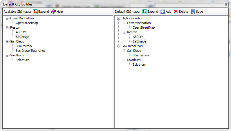
 on the toolbar to create a new map group. More than one GIS map can be added to a group.


